
Milner Mountain
Milner Mountain (6,881') is a big lump of a mountain with a good rise to the summit and a long southern ridge running for miles down to Loveland. I actually live on the northeastern flank of Milner, but have never taken the time to hoof it to the top, primarily because access requires trespassing over private property; summit included. I was told recently that the summit acreage was up for sale, so figured I'd go take a look to see if I was interested.
There's no great way to get up there from my house, but the route Mike and I chose for this very windy morning was to run the mile to the southern end of my road and then hoof to the summit saddle by way of a small drainage. Halfway up the drainage, we changed tack and decided to cut a line straight up the hillside and into the trees, which provided convenient cover for our trespassing ways, in addition to an expedited climb.
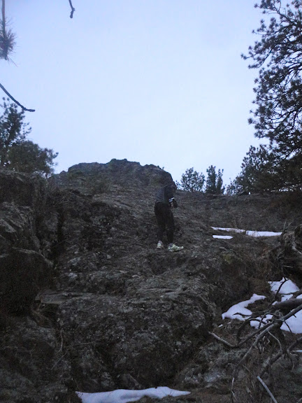
Approaching the Milner summit block

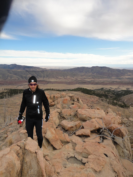
Mike with the camera looking south.
Once on top, it was a toss up as to which rock outcropping was higher, so we tagged both and then headed south to a sub summit, home to a communication tower where we were able to pick up a convenient private service road that headed all the way down to the valley between Milner and Green Ridge (Bobcat Ridge). From there we ran out to the Bobcat Ridge trailhead, completed the 11-mile outer loop with a quick summit detour of an unranked, but sightly peak (7,124') above Mahoney Park on the way.
Coming off peak 7,214', we found a decent game trail down through a gully, which hooked back into the DR trail and the traditional Bobcat loop. We finished off our figure eight route by hitting Buckhorn/38e roads for the 5 mile climb back up to my house. All told, we were about 23-24 miles on the morning, with two fun and unusual summits, a fierce lashing on Bobcat Ridge from the strong northwesterly wind, and some quality time-on-feet base building.


.png)


Nice. Coincidentally, I had the "looking at land" excuse chambered on a run just last week.
ReplyDelete